
Why the unit of measurement was always wrong
The Form 477 program, which the FCC used as its primary broadband data collection tool from 2000 onward, asked providers to report availability at the census-block level. If a carrier could serve at least one location within a block, it reported the entire block as served at whatever speed that single connection could reach. The rule was a practical concession to the complexity of address-level reporting, and in dense urban blocks where a provider's plant genuinely reached every building, it produced maps that were roughly accurate. The problem was structural, not accidental: the same rule applied equally to a block in downtown Arlington and a rural census block in the Shenandoah Valley that might span several thousand acres and contain a dozen scattered households, most of them nowhere near the road where the fiber or coaxial plant actually ran.

The distortion scaled with geography. Rural census blocks are orders of magnitude larger than urban ones — the Census Bureau draws them to contain roughly the same population, not the same land area, so a sparsely settled block can cover square miles. A provider with a single drop to a farmhouse near a state highway could report the entire block as served. The families on a dirt road two miles back were counted as covered. They were not.
How the error compounded
Providers submitted Form 477 data twice a year, and each submission built on the last. No mechanism required a provider to verify that addresses beyond the one connectable point were actually reachable; the rule did not ask. The data fed into the FCC's own mapping products and, critically, into state broadband offices and federal grant programs that used coverage maps to determine where subsidy money should go. A block already marked as served was typically ineligible for federal broadband buildout funding, regardless of how many households within it had no real option.
| Form 477 census-block standard | one serviceable location in a block marked the entire block as served, regardless of size or address count |
| Broadband fabric replacement | reports availability per individual structure, not per block |
| Challenge burden | under 477, fell to the challenger; under BDC, the provider must verify disputed locations |
The FCC's own assessments consistently showed tens of millions of Americans with access to fixed broadband above the threshold speed — 25 Mbps down, 3 Mbps up after the 2015 benchmark revision — yet independent researchers and local governments repeatedly found the ground truth did not match. Microsoft published a widely cited 2019 analysis based on actual usage data from Windows Update telemetry, concluding that the number of Americans who lacked broadband access at 25/3 Mbps was approximately 157 million, against the FCC's figure of roughly 21 million unserved. The gap was not noise. It was the census-block rule at scale.
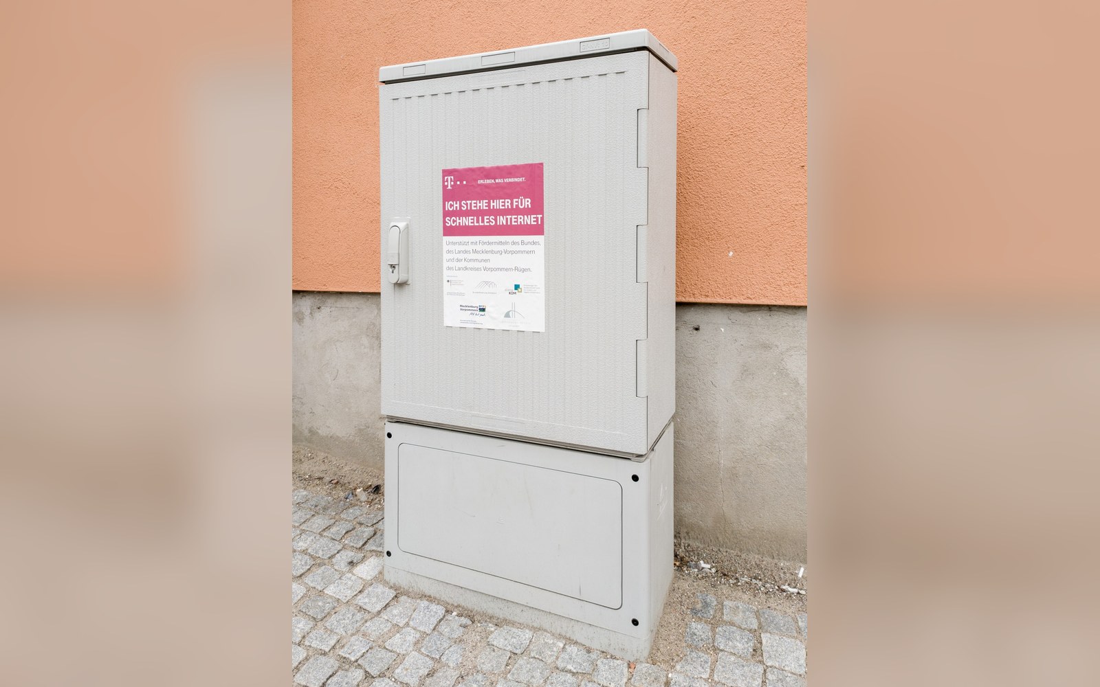
The mechanism that should have caught errors — the Form 477 challenge process — was not built for the job. A household or local government could dispute a coverage claim, but the burden of proof sat with the challenger, and the tools for producing that proof were limited. Counties that wanted to contest a carrier's filing had to document, address by address, that service was not actually available, which required resources most rural counties did not have. Loudoun County, Virginia — one of the wealthiest counties in the country by median income, and home to a concentration of data center infrastructure that underpins much of the national internet — still identified coverage gaps in parts of its western rural areas that providers had reported as served.
Scale of the distortion
Rural census blocks: can span several square miles, making block-level reporting especially misleading outside urban areas
AT&T's fixed-line DSL footprint illustrates how the rule inflated a specific technology's reach. DSL is a distance-sensitive technology: throughput degrades sharply with loop length from the central office or remote terminal, and beyond certain distances the line cannot support the minimum threshold speed at all. A provider could plant a remote terminal at a rural crossroads, connect one or two nearby homes at qualifying speed, and report the surrounding census block — which might extend miles in every direction — as served with DSL. The addresses at the edge of that block might get 1 Mbps or nothing, but the map showed broadband.
The fabric and what it changed
The Broadband Data Collection program, which the FCC began transitioning to in 2020 following the Broadband DATA Act, replaced census-block aggregation with the broadband fabric — a database of individual serviceable locations derived from address records, building footprints, and land-use data. Providers filing under the new system must report availability at the level of each location: a specific structure that could, in principle, receive a residential or business connection. The FCC's broadband fabric was developed with CostQuest Associates and contained approximately 109 million locations in its initial release, later revised upward as edge cases were resolved.
The shift from block to location is not a cosmetic change. Under the fabric, a provider claiming a road must claim it address by address. A single connection at the highway intersection no longer covers the farmhouses on the back road. Challenges, too, work differently: a household can now contest a specific location record, and the challenge mechanism places more of the verification burden on the provider to demonstrate that service is genuinely available at the disputed address.
Chronology
- 2000Form 477 program begins using census-block reporting
- 2015FCC raises benchmark speed to 25 Mbps down / 3 Mbps up
- 2020Broadband DATA Act passed; FCC begins transition to location-level fabric
- 2022–23Broadband fabric released with ~109 million individual locations
- BEAD program (NTIA)mandates use of fabric data for eligibility determinations
The fabric introduced its own errors — locations miscategorized as residential, buildings missing from the dataset, MDUs counted as single points — and those have required iterative correction. But the direction of error shifted. Where Form 477 systematically overstated coverage by aggregating availability upward to the block, the fabric's errors are addressable at the record level. The map can be corrected without reclassifying an entire block.
What the decade of census-block data actually cost is harder to quantify than the rule itself. Grant programs administered by USDA's ReConnect, the NTIA's BEAD program, and various state-level funds used the overstated coverage maps to draw eligibility boundaries. Money that could have built fiber to unserved addresses was withheld because a provider's one connected house had already marked the block as served. The scale of that misallocation is still being unwound — the NTIA's BEAD allocations require states to use the new fabric data, precisely because the old maps were understood by everyone involved to have been wrong.